
What Nicholasville Neighbors Records Show on a Block
Public sources describe parcels, recorded interests, civic activity, and certain public affiliations around an address. They do not safely enumerate each household. A Nicholasville neighbors search works best as a source-by-source block log in which every name is tagged as owner, mailing recipient, voter searched by lawful input, meeting participant, or association contact. That keeps a dated public role from being stretched into a claim of current residence.
| Source | What it shows about a block | Access |
|---|---|---|
| Jessamine Interactive GIS | Published parcel geometry, street layout, and available layers | Public terms gate; live parcel controls were not verified |
| Jessamine PVA cards | One parcel at a time: owner, mailing, legal description, value, and sales | qPublic link; current interface was blocked during research |
| Recorded plats | Lot, block, subdivision, easements, and boundaries | County Clerk or PVA; online access varies |
| Clerk deed index | Owner transitions and land descriptions across adjoining parcels | eCCLIX account or free office inspection |
| Voter record | An individual registration and precinct result when lawfully searched | VIC and SBE rules; no ordinary block browse |
| Planning and city files | Subdivision, zoning, permit, code, and meeting context | Document center or a specific open-records request |
| Association pages | Self-described boundaries, meetings, rules, and community notices | Public page; not a government household roster |
| JCPL and Sanborn sources | Historic street events, notices, and building context | Library microfilm and digital LOC maps |
For a present block, begin with parcels and recorded plats. For neighborhood history, add newspapers, public dockets, and maps. Use an association page only for what it says about itself, and record the access date because board contacts and notices can change.
Map Nicholasville Neighbors One Parcel at a Time
The adjacent-parcel method starts with an exact parcel ID from the PVA or a recorded plat. The Jessamine County Interactive GIS requires acceptance of its terms before the public map. Its disclaimer says the map is for reference, may not be current, and does not control legal acreage or ownership. The live map did not open during the research inspection, so no parcel-click, buffer, radius, layer, measure, print, or export control should be promised.
- Establish the target parcel ID, situs address, subdivision, legal description, and map date.
- After the viewer opens, record each truly contiguous parcel rather than selecting every address that looks close on screen.
- Open the corresponding PVA card and keep owner, owner mailing address, deed reference, and roll date in separate fields.
- Use the recorded plat to distinguish a rear tract, easement, shared drive, road right-of-way, or noncontiguous lot.
- For historical context, compare the block with a dated Sanborn sheet and a JCPL newspaper search.
The output is a parcel evidence log, not a list of your neighbors. For the longer owner and record chain along a named road, switch to the Nicholasville street directory walkthrough.
Read PVA Cards Without Mislabeling Nicholasville Neighbors
The Jessamine County PVA maintains the assessment roll. Verified card fields include owner, situs address, owner mailing address, parcel ID, legal description, lot or acreage, subdivision, deed book/page, plat reference, assessment, exemptions, property characteristics, and sales history. The current qPublic input controls were not visible during research, so test the live interface rather than claiming an address or owner search mode is available.
An official sample illustrates the central trap: the parcel situs is 626 Burr Oak Drive, but owner mail goes to 704 Chinkapin Drive. Those two entries are not conflicting. One locates taxable land; the other directs correspondence. An exemption flag may support a limited owner-occupancy inference for a qualifying owner, yet it still does not identify all household members. Date the card and use its deed book/page as the bridge to the legal instrument.
- Situs address
- The physical location assigned to the assessed parcel.
- Mailing address
- The place where tax correspondence is sent, which may be elsewhere.
- Parcel ID
- The county identifier that keeps the land tied to later card and deed checks.
Nicholasville Neighbors and Three Community Sources
Research found three named association sources, but no official countywide association directory. Each offers a different kind of neighborhood context. None should be treated as a current member list, proof of residence, or authority over parcel boundaries.
| Community source | Public evidence | Use and limit |
|---|---|---|
| Forest Hills Residents' Association | A 2014 Kentucky PSC water-district proceeding describes the subdivision and its public participation | Useful historical and infrastructure context; not a current roster |
| Lakes at Equestrian Estates | A self-published site refers to rules and community contacts | Confirm current boundaries and contacts with the association |
| Crosswoods | A self-published site describes quarterly board meetings, community issues, and neighborhood-watch information | Public notices and civic context, not household membership |
The Crosswoods association site provides a successful manifest view of one public community source used when researching Nicholasville neighbors.
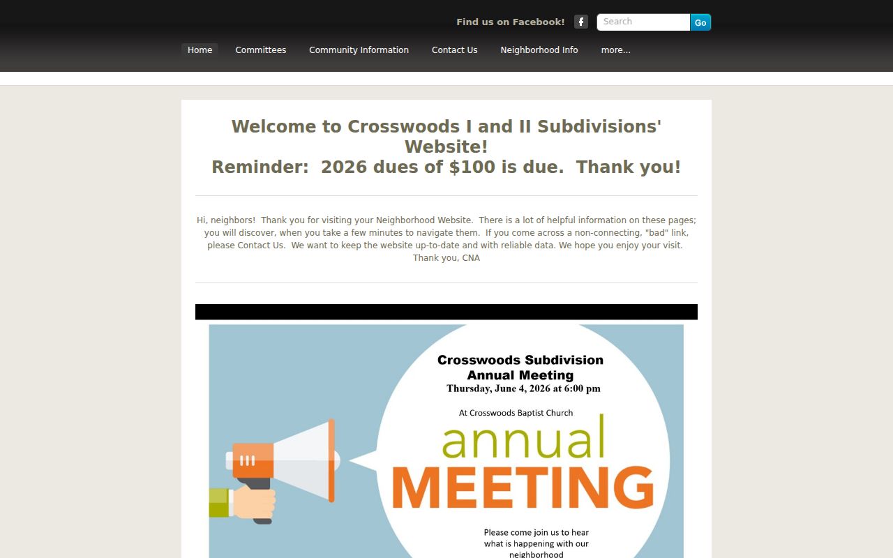
The page can document published meetings or neighborhood-watch material, but a visitor should not infer who belongs to the association or lives at a given parcel.
Kentucky Voter Rules for Nicholasville Neighbors
The ordinary Kentucky Voter Information Center is person-keyed, not block-keyed. Its inputs are legal first name, last name, date of birth, and the last four digits of the person's Social Security number. It can return registration, polling, and absentee information for the matched person. It is not a screen for browsing every registered person on a Nicholasville street.
KRS 116.095 allows inspection and copying of voter registration records with Social Security numbers redacted. State bulk data has qualified requestor categories and bars commercial use. A five-year voting-history field shows participation, never ballot choice. Safe at Home participants use a designated address and are excluded from ordinary public voter-list exposure. If a record is absent, do not guess that a protected person is at the parcel or infer why a status changed.
Note. Use voter material only through its stated access path and never reconstruct a protected Nicholasville address.
Search Nicholasville Block Issues in Public Files
Planning files, code forms, board records, and public meeting documents can connect a street or subdivision to a public matter. Nicholasville Planning handles building, zoning, subdivision, floodplain, and infrastructure work. The city code form organizes a complaint by location, occurrence date and time, category, details, and optional requester contact, but it is not a public case-status index. For county planning material, submit a specific request to the custodian at 121 S. Main Street.
The Jessamine County document center exposes text search, categories, dates, and page controls across budgets, boards, code, planning, road, and other public files.
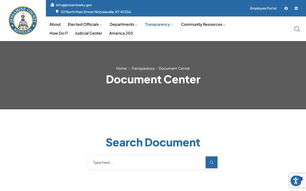
A street, subdivision, project, or association name may surface public participation there, but the result identifies a dated civic role rather than a private household.
Historic Nicholasville Neighbors on Sanborn Blocks
Five digitized Nicholasville Sanborn sets cover 1886, 1892, 1897, 1903, and 1909. They show building footprints, stories, materials, uses, lot lines, street names, road widths, and water facilities. Comparing sheets can reveal physical change on a block. It cannot identify the people inside a structure.
Pair the map with JCPL newspaper microfilm, which covers the Jessamine Journal and Nicholasville News from 1887 through 2005, and with a deed or plat. Search street-name variants, Court Row, Main Street, Nicholasville, and Jessamine County because old sources may favor a county label or initials. Metadata exists for later Sanborn sets, but the research did not verify their images as digital.
Official Nicholasville Neighbors Sources Versus Compiled Tools
Official sources and commercial compiled tools answer different questions. The PVA and Clerk connect land to assessed ownership and recorded instruments. Planning and meeting files document public action. Association sites publish their own notices. A commercial neighbor tool may merge old address, phone, and web data, but it may not reveal the source date or distinguish owner, occupant, mailing recipient, and relative.
| Source type | Strength | Key limit |
|---|---|---|
| Official parcel and deed source | Dated custodian record and legal parcel bridge | Ownership is not the full household |
| Public civic or association source | Meeting, boundary, project, or published contact context | A public role does not prove residence |
| Commercial compilation | May gather clues in one screen | Stale merges and unclear provenance require source verification |
Return every useful clue to the custodian that created it. A dated PVA card, deed, plat, or public filing is easier to evaluate than an unexplained name beside an address.
Privacy Boundaries for Nicholasville Neighbors
No ordinary public block source safely identifies every person who visits, stays, receives mail, or shares a household. Utility customer data, delivery information, full driver-record addresses, protected voter addresses, and sealed court or vital material are not general neighbor lookups. Kentucky Safe at Home provides designated addresses to qualifying participants, and adoption records and several court categories have their own protected routes.
Build the smallest useful log: target parcel, contiguous parcel IDs, source dates, deed or plat reference, map date, public meeting citation, and any clearly stated association boundary. Minimize copied personal details. Correct a bad public record with its custodian, while a private compilation requires its own authenticated correction or privacy channel.
Lawful use. Research Nicholasville neighbors for civic context, reconnection, or personal safety, never to watch, threaten, expose, or harass another person.