
Verified Nicholasville ZIP Code Leads
Authoritative material supports two Nicholasville postal leads, but it does not supply a complete current route map. USPS archive material places 40340 and 40356 in the Nicholasville postal grouping. Current city and county pages repeatedly use 40356 for Main Street government and public offices. The live USPS city-and-state result did not render during research, so the present station name, delivery versus box classification, and exact outer limits remain unverified. That gap matters. A careful ZIP code directory should state what the evidence proves and direct each address back to the live USPS lookup.
| ZIP Code | Areas Covered | Post Office | Notes |
|---|---|---|---|
| 40340 | Nicholasville postal grouping in official USPS archive material | Current station label not verified | Current delivery or PO-box classification requires USPS confirmation |
| 40356 | Nicholasville city and county-seat addresses, especially the Main Street office area | USPS city label is Nicholasville; station label not verified | Primary ZIP found on current official local addresses; postal and city limits may differ |
| Other ZIPs | None confirmed by the authoritative local sources reviewed | Use USPS city/state mode | Do not infer city service from a mail-sorting list |
Postal archive rows are dated evidence, not a current boundary file. Routes and station arrangements can change while a five-digit code remains in use. No authoritative source reviewed confirmed that 40340 is currently delivery-only, box-only, or both. Likewise, no source established every subdivision reached by either ZIP. Use the USPS ZIP Code Lookup for the address on the day of research, then use county and city records to determine jurisdiction.
Nicholasville USPS ZIP Lookup
USPS offers three different searches: enter a full address to find its ZIP, enter a city and state to list ZIP Codes, or enter a ZIP to see its city names. The first mode is best for one Nicholasville address. The city/state mode is the proper route for checking the current city-wide list. The ZIP-to-city mode tests how USPS labels a code, but it still does not draw the city boundary or confirm who lives at an address.
Save the normalized street line, returned city label, ZIP+4 when shown, and lookup date. Postal spelling may differ from a deed, PVA record, or old directory. USPS also warns that its result does not confirm a person or company at the address. A postal match is therefore a geography check, not a resident finding by itself.
Verification point. Recheck USPS before relying on 40340 or 40356 classifications because the research could not render a live all-ZIPs result.
Nicholasville Records With ZIP Filters
Official systems use ZIP fields for different reasons. Kentucky's professional license portal can filter a public credential by city, state, and ZIP. The Pharmacy Board verifier adds county and license or permit type. These tools find a licensed person or facility tied to a public license address, not every resident in the ZIP. The statewide voter-data process can provide qualifying household-by-ZIP output, while the ordinary Voter Information Center has no ZIP search field. The Jessamine PVA portal may accept an address or parcel, but a current ZIP-wide filter was not verified because the live qPublic form was blocked.
| Official tool | ZIP-related field | What it returns | Key limit |
|---|---|---|---|
| Kentucky DPL search | City, state, ZIP, board and status | Public professional license | License address is not proof of residence |
| Pharmacy verifier | City, state, ZIP and county | Person, facility or permit record | Board-specific and CAPTCHA protected |
| SBE voter-data request | Residence and mailing ZIP; household-by-ZIP order | Approved voter-data extract | Qualified request and statutory use rules apply |
| Voter Information Center | No ZIP field | Voter's own registration and polling details | Requires identity fields |
| Jessamine PVA | ZIP filter not verified | Parcel and owner details from a known address | Do not claim ZIP-wide search access |
The Kentucky professional license search is shown below. Its city, state, and ZIP controls demonstrate a genuine ZIP-capable official search.
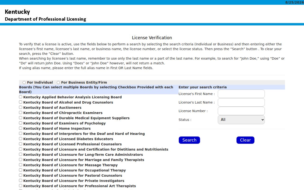
The result should be read as a current credential and public address record, never as a list of all people in Nicholasville.
The Kentucky Pharmacy license verifier supplies a second ZIP-aware public interface.
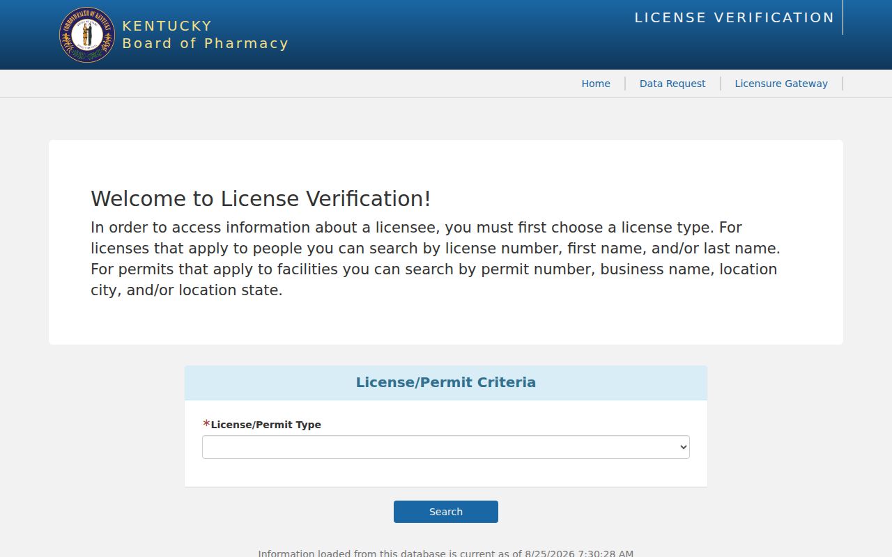
Its county and classification fields can narrow a specialized license check when a name or business is already known.
Finding Nicholasville Residents by ZIP
A ZIP code directory narrows geography; it does not replace a name or address index. Start with USPS, then move to a source that matches the question. For one parcel, use the PVA after the address is normalized. For a known licensed professional, search the relevant board by name and ZIP. For voter information, the resident can use the Voter Information Center, while broader data requires the State Board of Elections process and compliance with KRS 116.095.
- Verify the full street address through USPS and record the returned city, ZIP+4, and date.
- Check the Jessamine PVA by the known address or parcel; keep situs and owner mailing fields separate.
- Use a verified ZIP field only in the official license or approved voter-data tool that exposes it.
- Confirm a person through another dated official source before treating two name hits as the same individual.
Once the search reaches a named road, the Nicholasville street directory supplies the parcel and deed workflow. Preserve the five-digit ZIP as a postal field. Do not turn it into proof of city residence, parcel ownership, voter eligibility, or current occupancy.
Nicholasville ZIPs and Census ZCTAs
The Census Bureau publishes ZIP Code Tabulation Areas, or ZCTAs, to summarize data for areas that approximate many USPS ZIP service areas. A ZCTA is a statistical shape. It is not a postal route, post-office territory, parcel boundary, or legal city limit. Population figures attached to a ZCTA can give broad context, but they cannot prove which ZIP USPS assigns to a Nicholasville address.
The Census Bureau's ZCTA guidance explains that distinction.
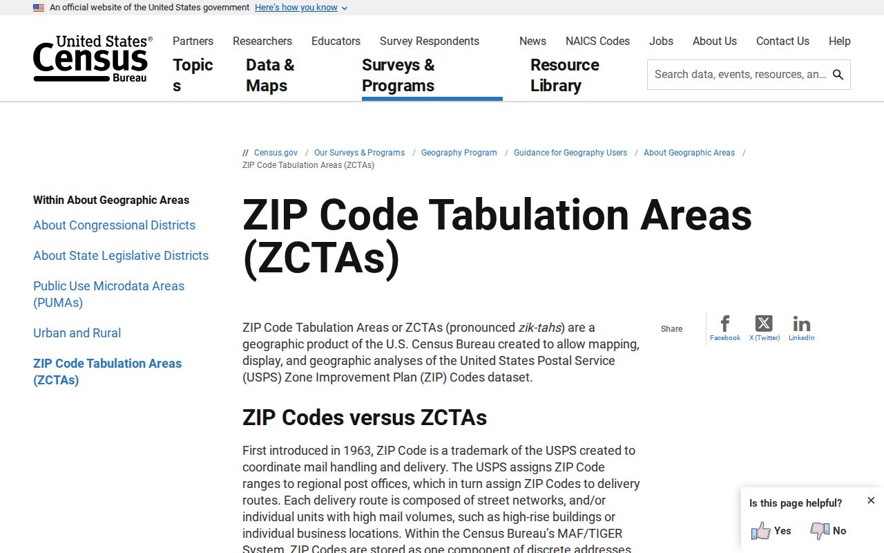
Use a ZCTA for statistics and USPS for delivery. Use the PVA and municipal map for the parcel and city jurisdiction.
Nicholasville ZIP Research Worksheet
A worksheet prevents postal and legal geography from being blended. This is especially useful in a county seat where records may use Nicholasville, Jessamine County, a subdivision name, or a rural route in different years. Keep the date beside every current portal result because postal routes, parcel rolls, and licenses change.
- Street number and normalized street name
- USPS-returned city, five-digit ZIP, ZIP+4, mode used, and date
- PVA situs address, owner mailing address, and parcel ID
- County and separate municipal city-limit status
- Legal description, subdivision, lot/block, or plat reference
- Source URL and access date for each official result
No official Nicholasville ZIP realignment year or address crosswalk was found. If an old address fails, search its legal description, subdivision, nearby streets, spelling variants, deed book and page, and dated newspapers. Mark an unknown year as unknown.
Nicholasville County-Seat Postal Evidence
Main Street gives unusually clear local evidence for the 40356 label. Current official addresses place the County Clerk at 101 N. Main, the Circuit Court Complex at 107 N. Main, the PVA at 116 N. Main, Maple Grove Cemetery at 500 N. Main, and Jessamine County Public Library at 600 S. Main. That cluster supports 40356 as the current county-seat address code found throughout government sources.
The cluster does not define the outer postal boundary. It also cannot prove that every site using a Nicholasville city label lies within municipal limits. Its value is practical: when an online map fails, the public offices sit close enough for a researcher to call or visit the right custodian in one central area. Confirm hours and record access before traveling, since each office keeps a different series.
Nicholasville ZIPs Versus City Limits
A Nicholasville postal city is not a legal boundary finding. USPS assigns postal labels for mail delivery. The Jessamine PVA uses a situs address for the physical parcel and a separate mailing address for correspondence. A deed uses a legal description. Voter records use a residence address to assign election jurisdiction. The same property can therefore carry several address-like fields that serve different jobs.
For a parcel with a Nicholasville ZIP outside the city, keep the postal city and municipal status separate. For a city parcel with a different postal label, retain the USPS label while checking the city line through the proper local map. Interactive GIS was access-gated during research, so no unverified layer or buffer feature should be assumed. Recorded deeds and plats remain the authority for legal land descriptions.
- ZIP versus ZIP+4
- A ZIP identifies a broad delivery area; the added four digits narrow mail sorting to a smaller segment.
- PO-box ZIP
- A code assigned to post-office boxes rather than ordinary street delivery.
- Unique ZIP
- A code assigned to one high-volume organization or institution.
- Carrier route
- The set of delivery stops assigned to a postal carrier, which is not the same as a city boundary.
Neither the current PO-box classification nor a unique ZIP was verified for Nicholasville. These terms help read USPS results; they are not claims about 40340 or 40356.