
Walk a Nicholasville Street
A street-by-street search begins with a parcel, not a guessed household. The Jessamine County PVA is the assessment custodian, the county clerk holds the recorded instruments, and city or county planning offices hold address-based files that may name an applicant or owner. Each source answers a smaller question. Together, they can establish who owns land, where tax mail goes, how a parcel changed hands, and which public events refer to the address.
- Open the Jessamine County PVA route and locate the physical address, owner, parcel ID, deed book and page, legal description, and sales rows that the current result provides.
- Use Jessamine Interactive GIS for map context after accepting its terms. Record the map date and parcel number, but let deeds and plats control legal boundaries.
- Take the owner name or book and page to the clerk's index. Read the instrument itself, then keep each grantor, grantee, legal description, and recording date.
- Check planning, public meeting, newspaper, or voter sources only for the specific role they document. Do not combine every name tied to the address into one household.
- For an older Nicholasville address, confirm that a directory, reel, or map covers the target year before using it as evidence of past occupancy.
This workflow makes the Nicholasville street directory an evidence log. A current owner is not always an occupant, a mailing recipient may live elsewhere, and a meeting participant may only have spoken about a site.
Nicholasville Street Directory Fields
The live qPublic form did not render during research, so its exact input labels and required fields cannot be promised. An official Kentucky Public Service Commission filing reproduces a Jessamine PVA parcel card and verifies the output below. These fields are the sound basis for a by-address worksheet.
| PVA item | Street-search use | Status |
|---|---|---|
| Property or situs address | Identifies the physical parcel | Verified in official sample |
| Owner and mailing address | Names the assessed owner and tax-mail destination | Verified; addresses can differ |
| Parcel ID | Matches the same land across records | Verified in segmented format |
| Legal description and subdivision | Bridges a street label to the legal parcel | Verified in samples |
| Deed book/page and plat sheet | Points to the recorded deed and map | Verified in sample |
| Sales history | Supplies dates, prices, parties, and deed references | Verified in sample |
| Current search controls | Would determine whole-street browsing | Not verified; live form blocked |
Test the current portal before assuming it accepts a whole street. If it does not, work one situs address or parcel at a time. This is slower, but it avoids presenting an unverified portal feature as part of the Nicholasville street directory.
The PVA landing page and property-search route are visible in the captured source:
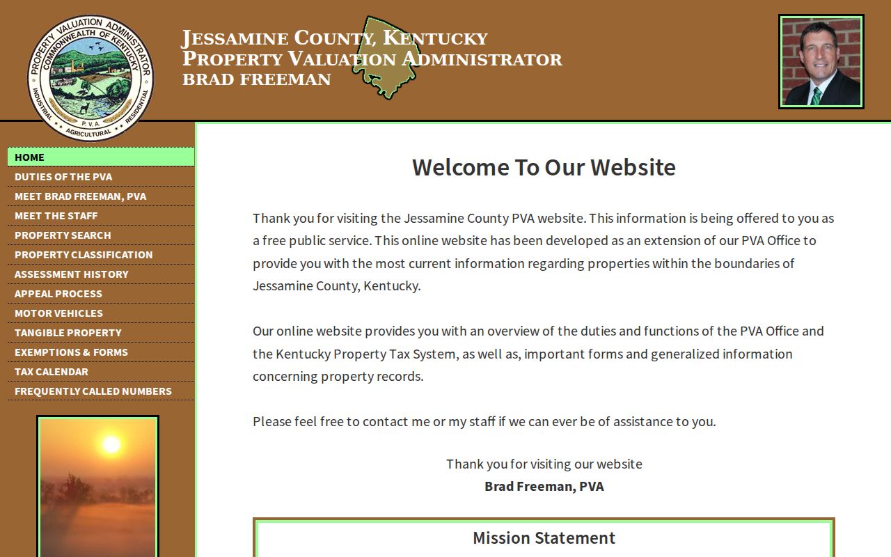
The image identifies the proper county source; the parcel details still need a dated live result or office confirmation.
Nicholasville Situs and Mailing Addresses
One local record shows why labels matter. The official PVA exhibit places a parcel at 626 Burr Oak Drive, while tax mail for the named owner went to 704 Chinkapin Drive. The first is the situs address, meaning the physical location of the assessed parcel. The second is a correspondence address. It must not be relabeled as the parcel location or treated as proof of where someone lived.
- Parcel
- A tract of land tracked under a county identifier.
- Situs address
- The physical street location assigned to the parcel.
- Plat
- A recorded map that identifies lots, blocks, subdivisions, boundaries, or easements.
- Criss-cross directory
- A historical directory arranged by street and house number rather than only by surname.
Keep the roll year beside every copied field. Ownership, mailing destinations, assessments, and exemptions change. A parcel card is best treated as a dated snapshot and a bridge to the deed, not a permanent list of Nicholasville residents.
Nicholasville Records Arranged by Address
No single office maintains a complete Nicholasville street directory. The practical directory is assembled from address-keyed sources, with a clear note about what each record can and cannot establish.
| Address source | Custodian | Evidence supplied | Access route |
|---|---|---|---|
| Parcel card | Jessamine PVA | Owner, situs, mailing, parcel, value, sales | qPublic link or PVA office |
| Parcel map | Interactive GIS | Published map context | Terms gate; viewer tools unverified |
| Deed and mortgage index | Jessamine County Clerk | Parties, type, date, book/page | eCCLIX account or free office inspection |
| Recorded plat | County Clerk and PVA | Lot, block, subdivision, cabinet/sheet | Online availability varies; office fallback |
| Planning or code file | City or county planning | Permit, plan, inspection, zoning, complaint | Focused written request |
| Judicial sale | Master Commissioner | Address, owner, appraisal, purchaser, bid | Current and past sale pages; verify in court file |
| Historical mention | Jessamine County Public Library | News, obituary, tax, court, or street reference | Database, microfilm, or staff request |
The parcel ID and legal description are the strongest joins. Street spelling can change, postal labels can cross city limits, and a mailing address can point away from Nicholasville. Legal land identifiers keep the chain tied to the right ground.
Nicholasville Deeds Along a Street
The Jessamine County Clerk Legal Records office keeps deeds, mortgages, wills, liens, releases, and related instruments. CCLIX indexes deeds, mortgages, and wills back to June 30, 1966. Most online document images begin in January 2004, so an index hit from the earlier period may still require the counter at 101 N. Main Street.
The clerk's online land-records page explains the eCCLIX access route:
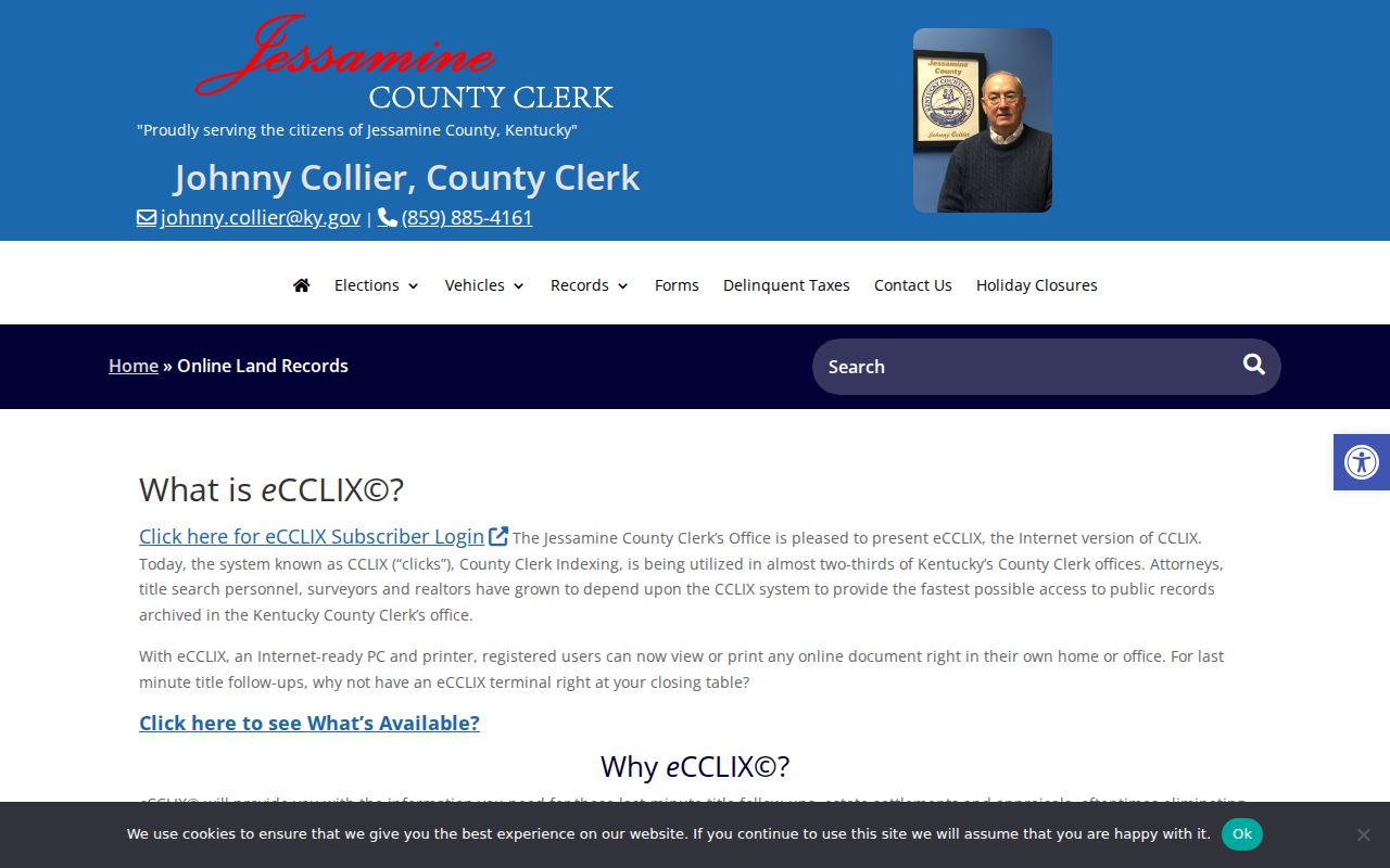
The captured page directs readers to the subscription system, while free inspection remains available at the office.
Search by book, page, and type when the PVA already supplies a deed reference. Otherwise, use combination party/date mode and test name variants. The clerk's search terms document those modes and warns that the online index is not guaranteed complete:
Read the deed image or office copy for grantor, grantee, prior reference, legal description, easements, and recording date. The index is a finding aid, not the legal instrument.
Map Nicholasville Streets Carefully
Jessamine Interactive GIS begins with a terms checkbox and a button leading to the public map. The research session could not reach the viewer itself. Address search, parcel selection, adjoining-parcel tools, map layers, measurement, and export controls therefore remain unverified. A Nicholasville street directory should not claim that those tools exist until someone sees them in the current interface.
If the map opens, record only what is visible and date the result. Copy the target parcel ID before moving along the street. The GIS disclaimer says the map is provided for reference, may not be current, and does not settle acreage or ownership. A recorded deed and plat control. When the map remains unavailable, request the plat by cabinet and sheet or by subdivision and lot.
Note: GIS supplies spatial context, but the clerk's recorded plat and deed remain the legal sources for Nicholasville parcel boundaries.
Nicholasville Address Request Files
Nicholasville Planning and Zoning handles zoning, building and code work, subdivisions, infrastructure, and floodplain matters. No public permit-history or code-case index was found. The correct path is a focused request that states the exact address, record type, and date range. Building and electrical permit questions go to permits@NicholasvilleKY.gov, while city records may also be requested through the city's open-records channels.
The Nicholasville Planning and Zoning page identifies the responsible office:
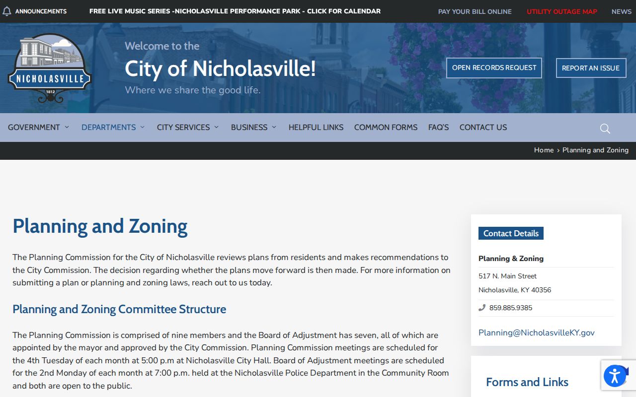
The source supports an address-file request, but it does not support claims about an online case search.
For county planning records, write to the listed custodian at 121 S. Main Street or planningzoningopenrecords@jessamineky.gov. Kentucky's Open Records Act uses a written, reasonably specific request, and the normal agency response is within five business days. Ask to inspect records if copies are not needed.
Nicholasville Voters Are Not a Street List
The Kentucky Voter Information Center asks for a legal first name, last name, date of birth, and an optional-looking last-four SSN field. It checks registration, polling, and absentee information for the entered person. It is not an open street-browse tool. Kentucky law permits inspection and copying of registration records through the county clerk, with Social Security numbers redacted, but access to statewide data files is limited by the current request rules.
Use voter data only for lawful civic or personal research. A record may supply residence, mailing, precinct, registration, party, or status fields under the applicable route, yet it does not reveal ballot choices. Safe at Home participants are excluded from ordinary voter-list exposure. Never try to infer a protected address from gaps in the roll.
Older Nicholasville Street Directory Clues
Jessamine County Public Library holds local newspaper microfilm for 1887 through 2005, census material, tax rolls, and court order books. Those sources can place a person, event, or property on a street at a stated date. However, the library's official page does not list a complete Nicholasville reverse or criss-cross directory run. Ask the desk for the exact title and year before relying on one. The historical shelf itself is covered more fully in the Nicholasville city directory collection.
No official street-renumbering, renaming, or annexation crosswalk was located. When an old address fails, do not invent a conversion year. Search the subdivision, lot, legal description, deed book and page, former spelling, nearby streets, and newspaper variants. Nicholasville postal labels, city limits, situs fields, and owner mailing addresses are separate kinds of geography.
Nicholasville Street Directory Limits
Address records do not reveal every person who visits, stays, receives mail, or belongs to a household. A PVA card identifies the assessed owner. A deed identifies parties to a land transfer. A voter record documents a registration role. Planning minutes may name an applicant, speaker, or nearby owner. None should be expanded beyond the role and date printed in the source.
The clerk's recording overview also shows why the office fallback matters:
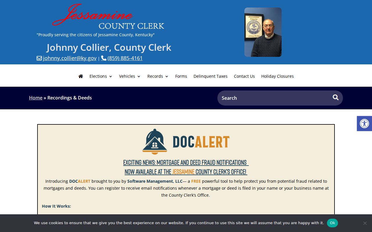
The online window is useful, but older books and missing images still belong in a counter or custodian request.
Lawful use. Use Nicholasville address records for legitimate personal, family, property, or civic research. Never use them to stalk, harass, threaten, or expose a protected person.